River Hydraulics
River Hydraulics Division undertakes studies related to River Behaviour, Training and Management. These are for safe routing of flood through the system of river channels and maintaining sediment transport balance. The river behaviour changes are assessed arising out of the insertion of new structures or modifications to the plan form etc. Methodologies are suggested to optimize/minimize the effects of human interventions or encroachments of river water way and ecological impacts on the river while assuring the safety of the structures. The major studies conducted are related to, sediment control and exclusion devices, cut-off developments, navigational developments, design of canals and canal structures, bridges, river training, erosion control, bank stabilization works, river diversion and morphological studies.
AREAS OF SPECIALIZATION
River Training
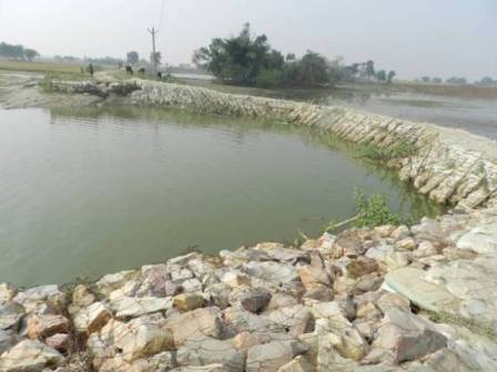
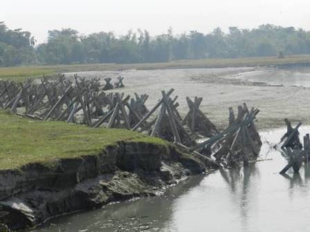
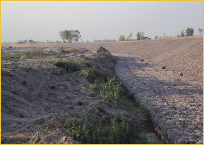
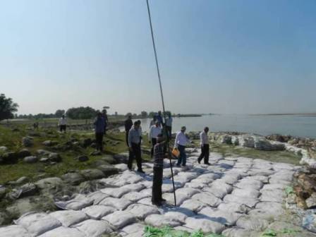
- Direct and indirect river training works likespurs and groynes,flood embankments, guide/afflux bunds, bank protection works like revetments, pitching and vanes.
|
|
Bridges
- Location, orientation, adequacy of waterway, afflux, safe deck levels. Scour level and foundation level, protection measures
- Appurtenant Structures such as guide bunds, approach / afflux embankments
- Morphology to examine stability of river course
|
 |
|
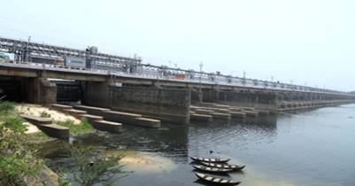
Barrages and Weirs
- Layout, orientation and waterway, afflux
- Crest levels of spillway and undersluices
- Hydraulic design parameters: velocities, discharge intensity / distribution
- Schedule of gate operation
- Discharging capacity and coefficient of discharge
- Appurtenant works: guide / approach bunds, divide wall, abutments
|
|
|
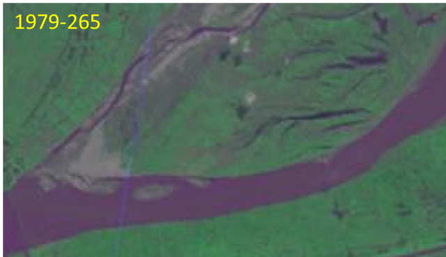
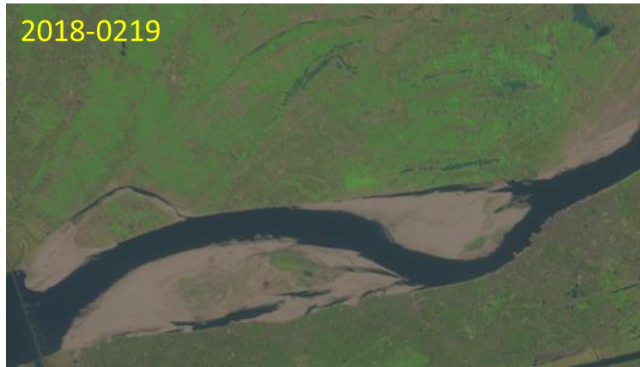
River Morphology
- Long term changes of river planform and bed levels
- Analysis of river flood discharges and water levels for long period
|
|
Inland Navigation
- Development of inland navigation, assessment of necessity of structures to improve the lean season depths, identification of location by estimating depths during low flows and effects of navigational structures on flood routing.
- Estimate silting and dredging requirements.
- Morphological studies to assess river behaviour
|
|
|
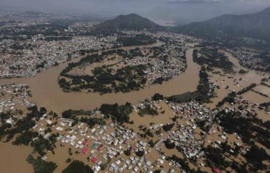
Flood Routing
Safe routing of floods by utilizing various river training alternatives including connecting low lying areas/ lakes/ wet lands and parallel channels etc. Assessing the effect of developmental encroachments on the river flood flows. Development of cutoffs for passage of flood with ease and avoiding the bank erosion.Assessing the need for dredging that has minimum ecological impact.
River Behaviour
Management of Braded river channel, activation of channels away from the embankments and necessity of dredging and their sustainability
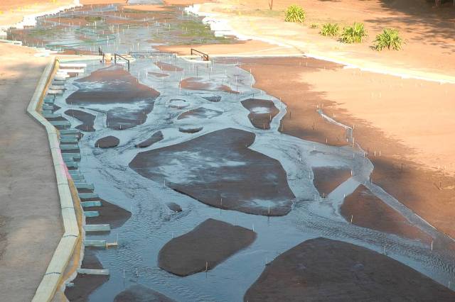
Intake Structures for Water Supply Schemes
- Identification of suitable location from old toposheets, satellite imageries and site inspection
- Minimum flows, minimum water levels
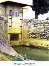
- Intake sill level and drawal level
- Bank protection works on upstream and downstream
|
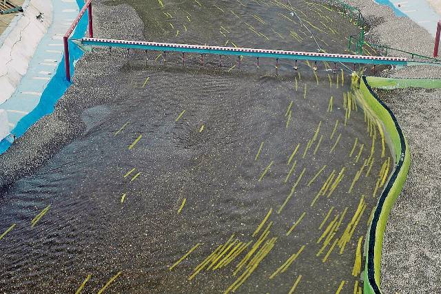
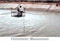
Stream Gauging and Sediment Sampling
- Calibration of gauging site of river/canal
- Rating of discharge measurement structures
- Measurement of sediment concentration and analysis for suspended sediment distribution
- Transmission losses in water conductor systems
|
 |
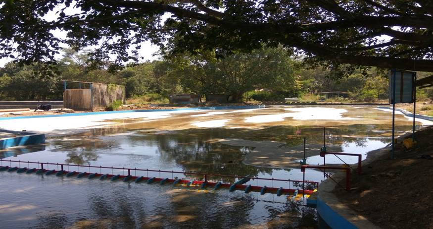
Siltation in Reservoirs
- Estimation of sedimentation profiles and optimization of flushing discharge, duration and frequency
- Gate regulation for effective flushing
- Sedimentation assessment through remote sensing technique
|
 |
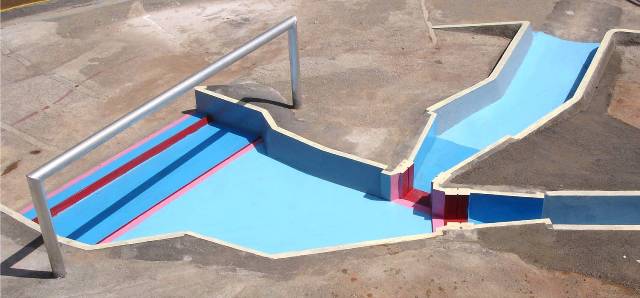
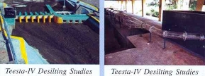
Sediment Control and Exclusion Devices
- Sediment settling efficiency of desilting chamber/basin
- Sediment carrying capacity and efficacy of flushing tunnels
- Optimum design of desilting chamber in respect of size, shape, inlet and outlet transitions
- Layout of sediment exclusion devices like silt ejectors/excluders
- Optimizing waterway, sill level, size and shape of silt exclusion arrangement
|
 |
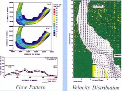
MATHEMATICAL MODEL STUDIES
- Flood Routing Studies: Rivers Tapi, Krishna and Mula-Mutha
- Cubature Computations: Kosi
- Hydraulic Transients in Water Conducting System of Hydel Projects: Rana Pratap Sagar, Lower Sileru, Kalinadi
- System Analysis of Water Resources: Ganga basin
- Morphological Model Studies: Ganga, Yamuna, Barak
- River Regime Studies: Yamuna
- Stratified Flows: Hot water recirculation for Kaiga Nuclear Power Project
|
|